Call Us: +256701170073 | WhatsApp Us: +256773 170073
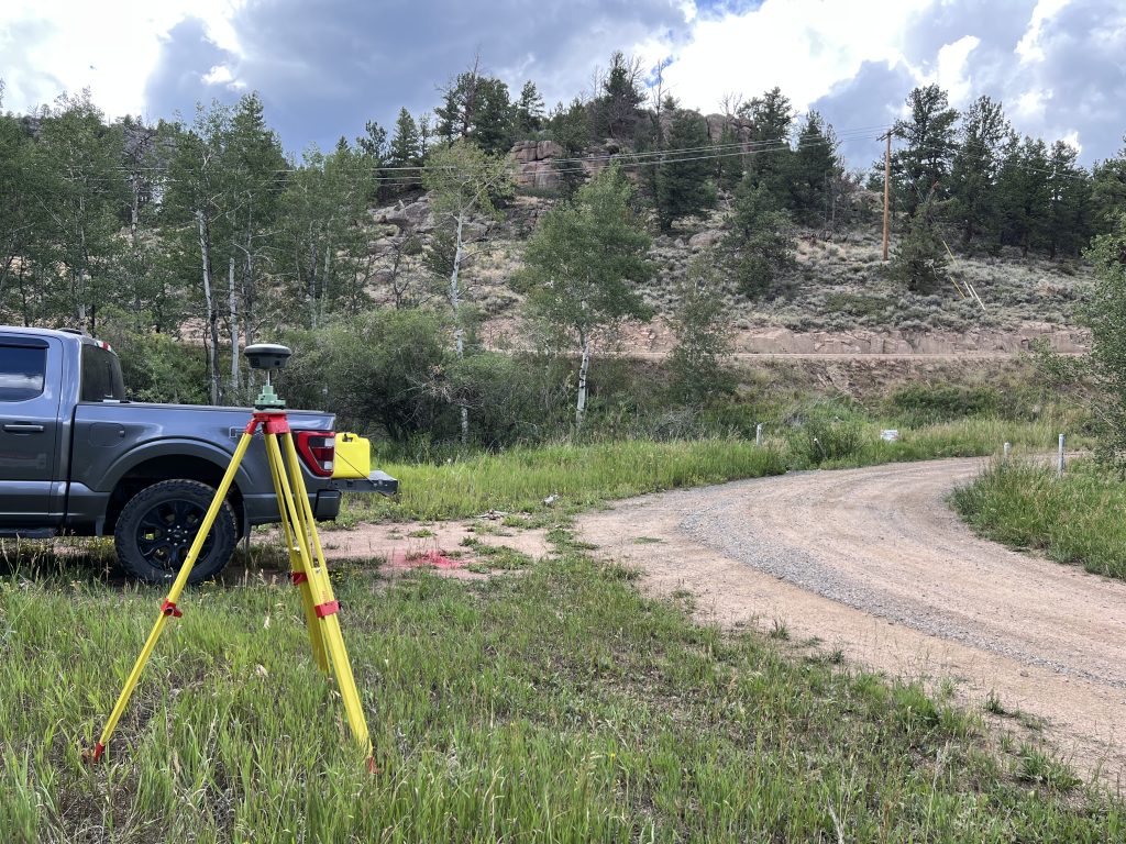
At Build Mint, precision is the foundation of every successful construction and infrastructure project. Our certified survey team utilizes advanced satellite positioning, LiDAR technology, and high-accuracy total stations to deliver actionable spatial data, boundary verification, and engineering surveys.
Whether you are acquiring land, planning a commercial development, or laying out major highway corridors, our geospatial solutions mitigate project risks, ensure regulatory compliance, and eliminate costly site errors.
Cadastral & Boundary Surveys
Purpose: Definitive land boundary identification and title registration support.
Key Deliverables: Property boundary markers, subdivision plans, beacon installation, and legal deed plan documentation.
Best For: Property buyers, land developers, legal representatives, and financial institutions.
Topographical & Contour Surveys
Purpose: Detailed mapping of site terrain, natural features, and existing structures prior to architectural design.
Key Deliverables: High-resolution 3D digital elevation models (DEM), contour maps, utility location overlay, and spot heights.
Best For: Civil engineers, architects, drainage planners, and earthwork contractors.
Engineering & Construction Staking
Purpose: Precise site layout establishing exact building footprints, column grids, road centerlines, and utility invert levels.
Key Deliverables: On-site setting-out pegs, structural axis lines, cut-and-fill level guides, and verticality alignment control.
Best For: Main contractors, structural engineers, and infrastructure site supervisors.
Aerial Drone (UAV) & LiDAR Mapping
Purpose: Rapid, large-scale spatial data capture and high-density terrain modeling.
Key Deliverables: Orthomosaic aerial maps, stockpile volumetric calculations, high-definition 3D point clouds, and slope stability mapping.
Best For: Quarries, large agricultural tracts, road corridors, and bulk earthwork monitoring.
Certified Professional Surveyors: All field operations and final plans are signed off by registered, licensed land surveyors.
Millimeter-Precision Technology: Eliminates costly setting-out errors before excavation and foundation pouring begin.
Fast Turnaround Times: Advanced drone data processing allows us to map large acreage in days rather than weeks.
Seamless BIM & CAD Integration: Survey outputs are delivered in standard .DWG, .DXF, .KML, and .SHP formats ready for direct import into architectural software.